
Agree the inspection scope and assess site access, airspace, weather and flight feasibility.
ABOUT US
Property expertise.
Aerial perspective.
Aerial Surv provides drone-based visual inspections and imagery for properties and assets.
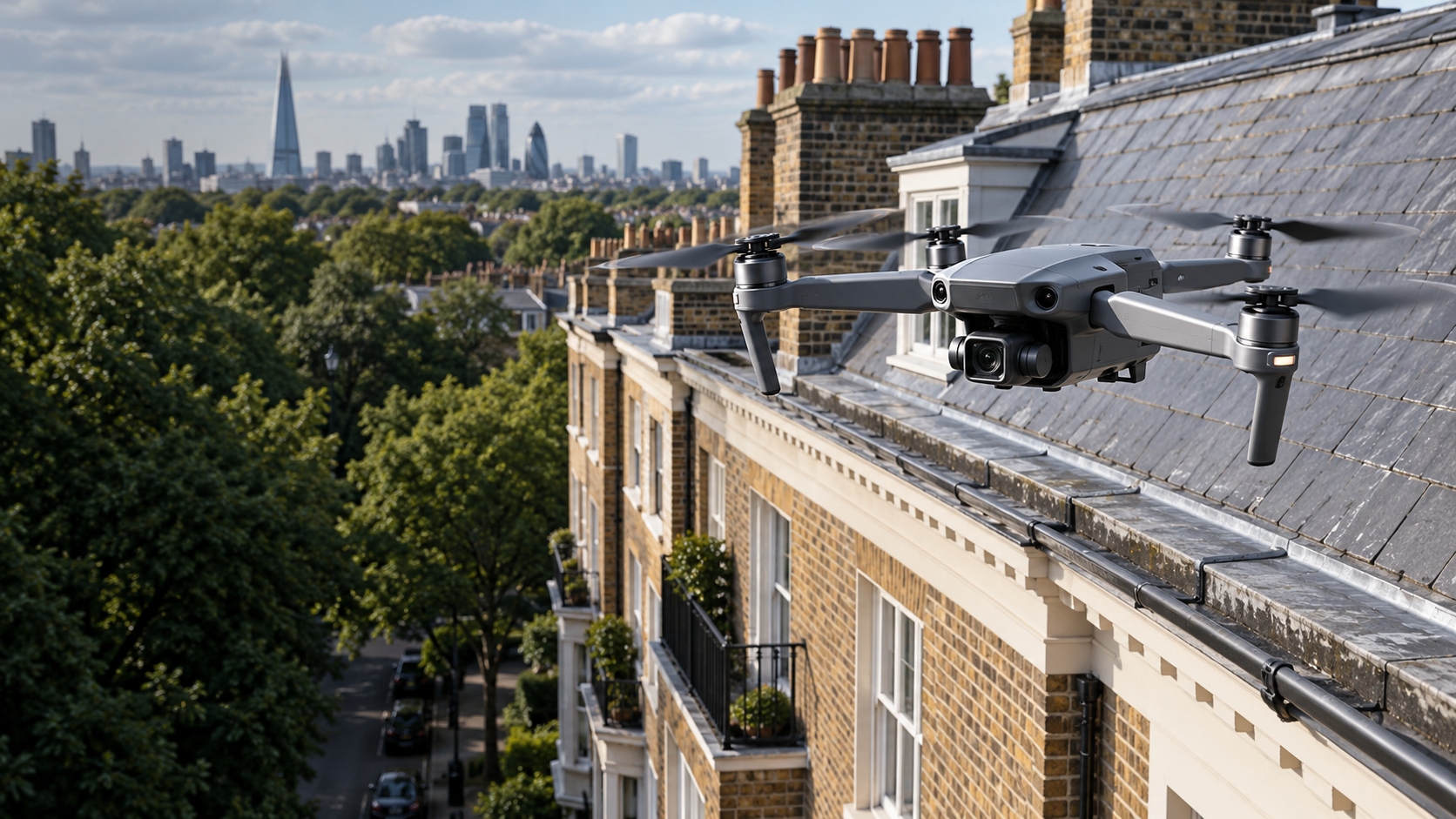
PROPERTY KNOWLEDGE. PRACTICAL PURPOSE.
See the detail.
Understand what matters.
Property, estate and facilities management experience informs every inspection brief.
We help owners, managing agents and facilities teams document visible conditions and identify areas that need closer attention.
From the initial brief to the findings report, the aim is straightforward: clear evidence that supports maintenance decisions.
London · Essex · Surrounding areasEach site assessed individually for access, airspace and inspection scope.
HOW WE WORK
A clear process.
Useful evidence.
PLAN
Record appropriate high-resolution imagery of the agreed property areas.
CAPTURE
Organise the evidence into concise observations that support your next maintenance decision.
EXPLAIN
PROFESSIONAL STANDARDS
Prepared for the site.
Clear about the scope.
£1m
Commercial liability cover
Public and products liability cover up to £1 million. Evidence available on request; policy terms apply.
Site-specific
Planning before flight
Risk assessment and flight feasibility checks tailored to the location and assignment.
Clear evidence
Reporting with purpose
Organised imagery and concise findings to support maintenance planning and further investigation.
External visual inspections. Flight permissions and operating requirements depend on the assignment; relevant documentation is available on request.
LET’S DISCUSS YOUR PROPERTY
Tell us what you
need to inspect.
Share the postcode, property type and areas of concern. We’ll confirm the next steps and a site-specific quotation.